

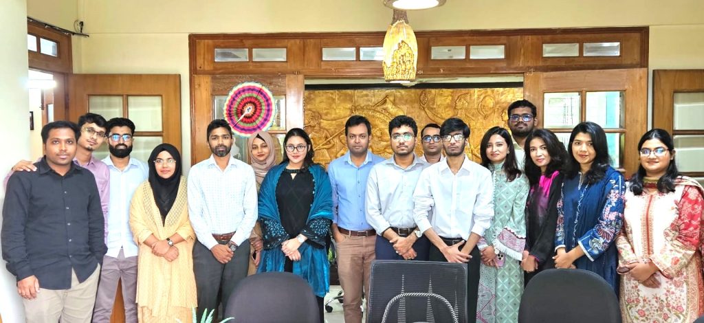
9 August 2026: Expansion of Shrimp Production in Bangladesh – What Does the Satellite Data Look Like?
About the presentation:
Presented by: Sharaboni Akter, Research Officer
Moderated by: Dr M A Razzaque, Chairman
The presentation examined the long-term expansion of shrimp farming and its associated land use land cover (LULC) changes, and surface salinity dynamics in Khulna and Bagerhat, two important coastal districts in southwest Bangladesh. Using multi-temporal Landsat imagery processed through Google Earth Engine, the study provided a 35-year regional assessment of shrimp-driven land-use change from 1990/91 to 2026. A Random Forest classifier was used to identify six major land-use and land-cover (LULC) classes. Surface salinity dynamics were assessed using the Normalized Difference Salinity Index (NDSI), while transition-probability matrices were used to examine how land categories changed from one class to another over time. The findings show clear differences in the patterns of shrimp expansion between the two districts. In Khulna, shrimp cultivation increases from 3.34% of the total land area in 1991 to a peak of 15.18% in 2020, before declining to 11.01% in 2026. Bagerhat, however, followed a more consistent upward trend, with shrimp cultivation expanding continuously from 4.93% of the land area in 1990 to 17.41% in 2026. Salinity shows a weak positive relationship with shrimp expansion (r = 0.35). This suggests that areas experiencing higher levels of surface salinity tend to have greater levels of shrimp cultivation, although salinity alone does not strongly explain the expansion of shrimp farming. The LULC transition analysis also reveal different sources of shrimp expansion in the two districts. In Khulna, bare land is the dominant source of land converted to shrimp cultivation. In Bagerhat, settlement areas are initially an important source, followed by bare land. Agricultural land declined consistently in both districts, indicating continued pressure on agricultural areas. At the same time, some shrimp-farming areas are converted back into waterbodies, bare land, and settlements, showing that land-use change is not entirely one-directional. Overall, the presentation concluded that Bagerhat experienced comparatively higher and more sustained shrimp expansion than Khulna. These contrasting trajectories highlight the need for spatially differentiated land-use zoning, stronger livelihood resilience support, and continuous satellite-based monitoring to manage the environmental and socioeconomic impacts of shrimp farming.
Sharaboni Akter
PPT slides
here.
Highlights from the Q&A session:
Question: Why is shrimp farming declining in Khulna District?
Response:
Shrimp farming in Khulna District is declining due to a combination of environmental, production-related, and socioeconomic factors. One of the major environmental factors is increasing salinity pressure, which can affect soil and water conditions and increase production risks. In addition, disease outbreaks, limited availability of high-quality shrimp fry, and other production-related risks can reduce shrimp productivity and profitability. Small and marginal farmers may also face limited access to capital and credit, while market price fluctuations and uncertainty can further increase the economic risks of shrimp farming. Together, these factors can increase production costs and reduce profitability.
Question: Can surface salinity vary between the dry and wet seasons?
Response: : Yes, surface salinity can vary significantly between the dry and wet seasons. In general, salinity tends to be higher during the dry season due to reduced rainfall, lower freshwater availability, increased evaporation, and greater influence of saline water. During the wet season, increased rainfall and freshwater flow usually reduce the salt concentration, leading to lower surface salinity. However, in coastal areas such as Khulna and Bagerhat, salinity is also influenced by tidal activity, freshwater discharge, evaporation, and saline-water intrusion. Therefore, seasonal variation is an important factor when interpreting surface salinity conditions.
Question:How did you distinguish shrimp farming areas from other water bodies that may have similar physical or spectral characteristics?
Response:
I did not depend on spectral characteristics alone because shrimp ghers and other water bodies can have similar spectral responses. I mainly used visual interpretation of satellite imagery, together with the geometric shape, spatial arrangement, and surrounding land-use context. Shrimp ghers generally have organized and relatively regular boundaries and often occur in clustered patterns. These characteristics helped me distinguish them from many natural or other water bodies.
Question: Can salinity be measured or estimated using satellite imagery? If so, how did you assess surface salinity?
Response:Yes, satellite imagery can be used to assess and estimate the spatial and temporal variation of surface soil salinity. Several remote sensing indices and empirical approaches have been developed for this purpose. One commonly used approach is the Normalized Difference Salinity Index, or NDSI. In my study, NDSI index was used to identify salinity affected areas and non-salinity affected areas to examine how salinity conditions changed over time. However, it is important to clarify that a satellite-derived salinity index is not a direct measurement of salinity. It is an indirect spectral indicator or proxy of salinity conditions. For more precise quantitative estimation, satellite-derived indices can be calibrated and validated using field measurements such as electrical conductivity (EC). Therefore, satellite imagery provides an effective way to monitor the spatial and temporal patterns of surface salinity over large areas.
Question:Is there any relationship between surface salinity and settlement patterns? Did your study consider this relationship?
Response: There can be a relationship between surface salinity and settlement patterns, particularly in coastal agricultural areas. Increasing salinity can reduce agricultural productivity, affect freshwater availability, and create difficulties for local livelihoods. These conditions may potentially influence migration and settlement patterns. However, this relationship was not directly examined in my study. One of the main objectives of my study was to examine the relationship between surface salinity and shrimp farming. Therefore, the potential relationship between salinity and settlement patterns was recognized, but it was beyond the main scope of this research.
Question:Why did you use different study years for Khulna and Bagerhat?
Response: For the LULC analysis, I used 1991, 2000, 2011, 2020, and 2026 for Khulna District, while for Bagerhat District I used 1990, 2000, 2010, 2020, and 2026. For the surface soil salinity analysis, satellite imagery from 1991, 2000, 2011, 2020, and 2026 was used for both districts. The slight difference in the LULC years was mainly due to the availability and quality of suitable satellite imagery. It was not always possible to obtain cloud-free and sufficiently clear images for both districts in exactly the same year. Therefore, when an image from the target year was unavailable or unsuitable, an image from a nearby and representative year was selected. This provided a sufficiently long-term temporal framework for analyzing LULC and salinity-related changes. However, I also acknowledge that the difference in the LULC reference years is a limitation of the study, because the temporal intervals are not exactly identical between the two districts.
Question:Did you integrate any socioeconomic data into your analysis?
Response: No. I did not integrate socioeconomic datasets into the analysis. The study mainly depended on satellite imagery and remote sensing-derived information to investigate the long-term spatio-temporal expansion of shrimp farming, associated land-use and land-cover (LULC) changes, and surface salinity dynamics, with particular emphasis on their regional diversity across the coastal districts of Khulna and Bagerhat.